COM/IND DEVELOPMENT TRACT
East TX Loop 1604 South / St. Hedwig City
$1,950,000
Photos
Property Overview
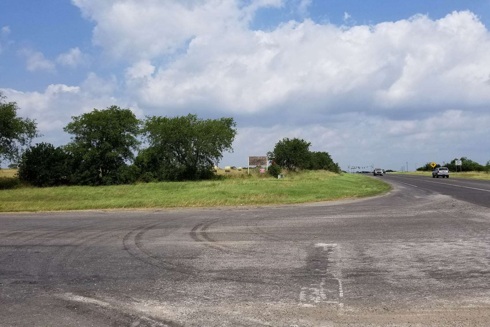
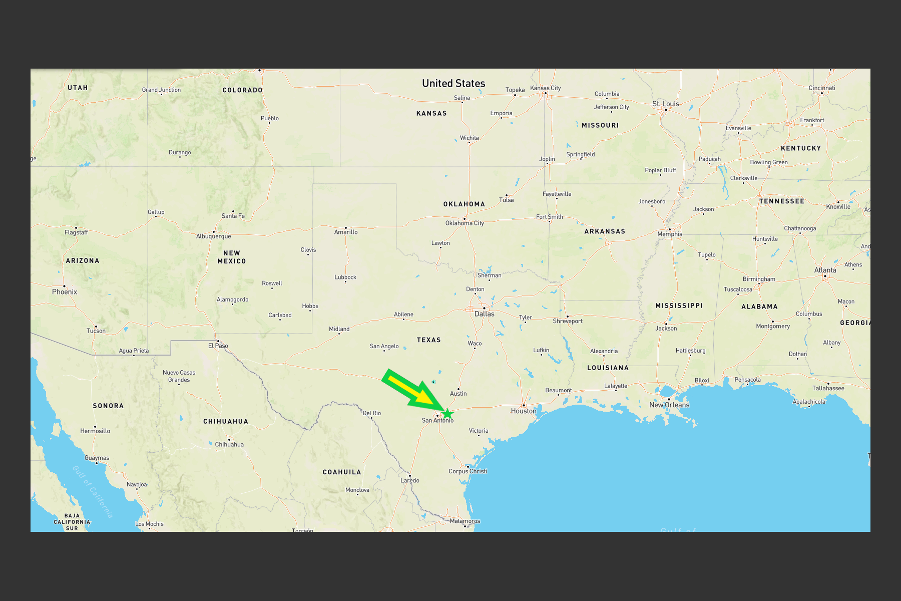
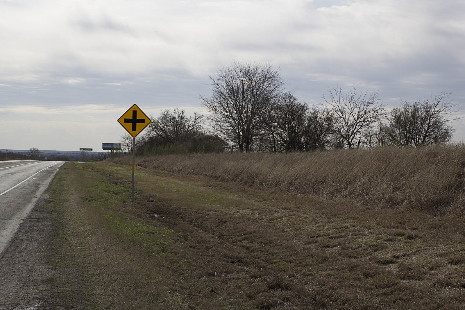
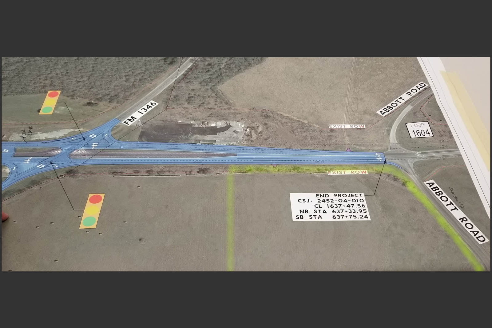
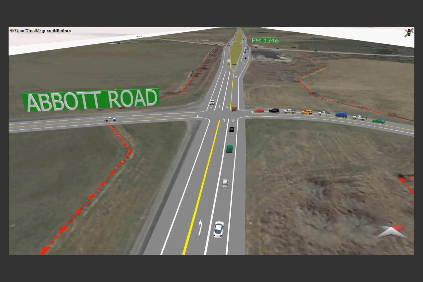
This incredible, ready-to-develop property is strategically located on East TX Loop 1604 South within the southeast quadrant of Bexar County, Texas. It is further conveniently positioned between the growing interchange areas of Interstate 10 (3.9 miles to the north) and US Hwy 87 (4 miles to the south). The property rests upon the west side of the highway within the city limits of historic St. Hedwig. It is flanked to the north by nearby FM 1346 and adjacently to the south by South Abbot Road. Please see the property survey for specific dimensions and precise geographical location.
Map Location
Street Location
Although not currently assigned a street address, the property lies approximately within the 908-998 block of “East Charles William Anderson Loop” (East TX State Loop 1604 South). The local ZIP code is 78101.
GPS Coordinates
29.418085, -98.257637
Lot Size
3.5+/- acres
Topography
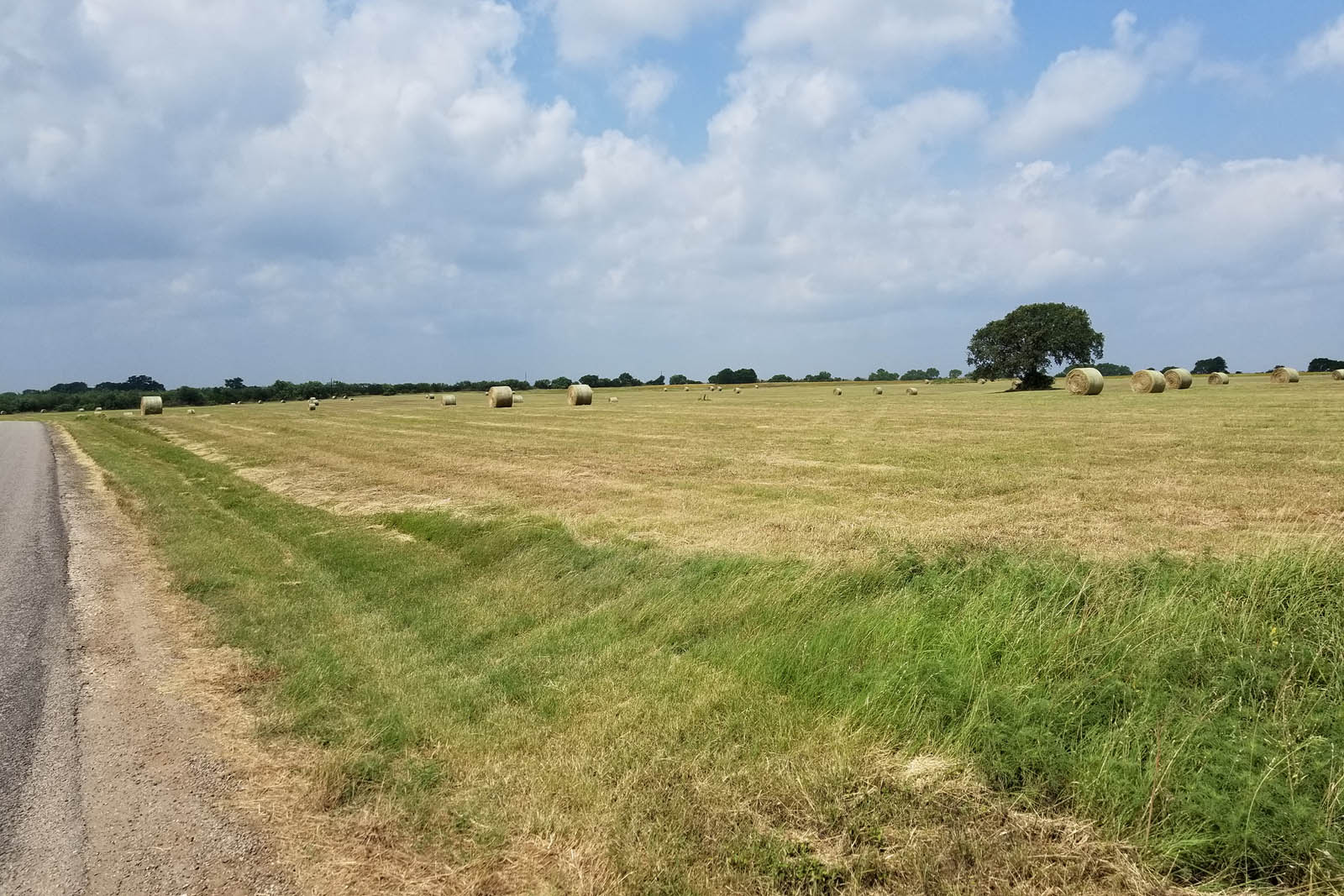
The property is primarily cleared pasture which slightly slopes generally southeast toward South Abbot Road. There are no known drainage issues currently impacting the property.
Mineral Rights
100% of all seller-owned mineral rights will convey to the new owner with the contracted purchase of this property.
Flood Plain
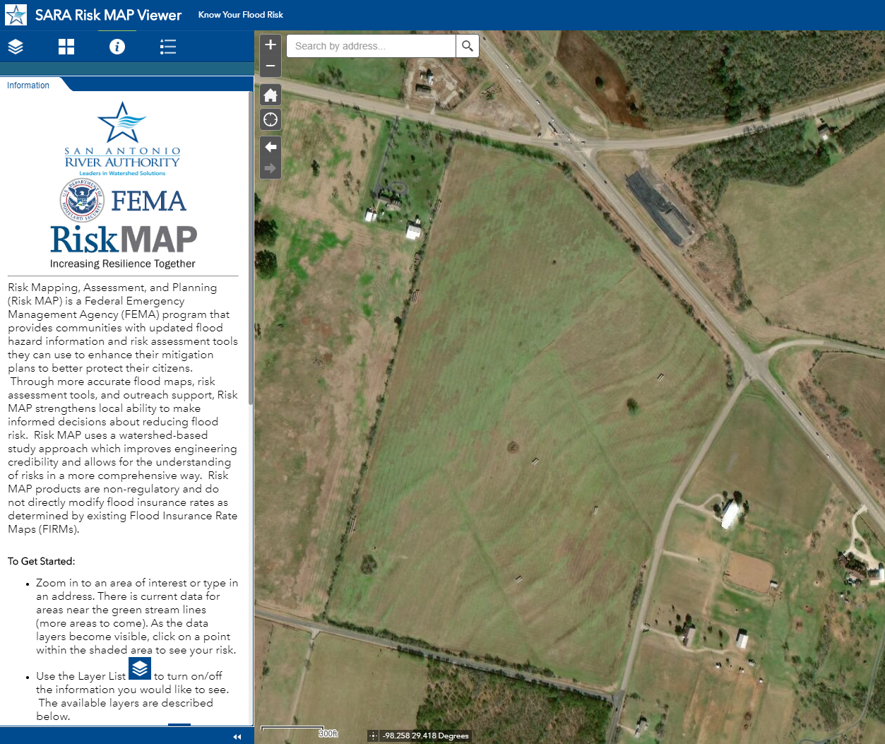
Federal Emergency Management Agency maps do not show any 100-year flood plain on this property. See also the SARA Risk MAP Viewer.
Utilities
Electricity and water (initial connections) are available to the site. Please see the property survey for any additional details concerning electricity, gas, water, sewer, and Internet connectivity. Prospective buyers should retain an independent engineer to verify the location, accessibility, and capacity of all utilities.
Easements
Some utility and drainage easements are of record on the property. Please see the property survey for additional details.
Zoning
The entire 3.5 acres is zoned for Light Industrial use. Prospective buyers should verify the zoning and permitted uses for the property with the appropriate governing authority.
Deed Restrictions
Local subdivision restrictions and covenants generally permit commercial and residential development. Prospective buyers should verify any/all deed restrictions with the appropriate governing authority.
Ad Valorem Taxes
In accordance with Texas Property Tax Code and the Uniform Standards of Professional Appraisal Practices, property taxes are paid on an annual basis to the Bexar Appraisal District. The property is currently under agricultural exemption.
Traffic Analysis
The Texas Department of Transportation's "2015 San Antonio Urban Traffic Map" indicates the following Annual Average Daily Traffic (AADT) statistics neighboring the property:
- 10,206 vehicles/day on East TX Loop 1604 South
- 736 vehicles/day on South Abbot Road
- 516 vehicles/day on La Vernia Road
- 1,642 vehicles/day on FM 1346

Source: Urban Traffic Maps
Demographics
- Local population estimate as of 2017: 6,911[1]
- Regional population estimate as of 2017: 2,473,974[2]
- Local median household income as of 2017: $85,400[1]
- Regional median household income as of 2017: $56,774[2]
Emergency Services
Nearest Fire/Rescue:
- St. Hedwig Volunteer Fire Department (4 miles eastward)
- Lone Oak Volunteer Fire Department (4.8 miles southward)
- China Grove Fire & Rescue (6.6 miles westward)
- San Antonio Fire Department Station #18 (10.3 miles westward)
Nearest Metropolitan Hospitals:
- Methodist Hospital Northeast (12.2 miles northward)
- San Antonio Military Medical Center (13 miles north-westward)
Local Law Enforcement Jurisdiction:
Potential Use
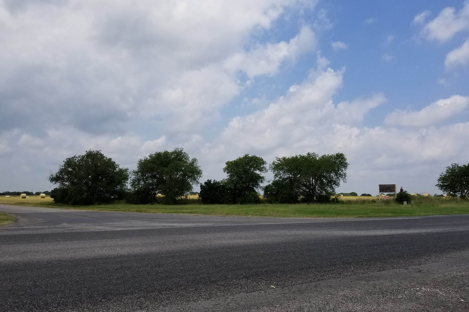
This property, with two (2) street corners and excellent highway & secondary-road exposure, lends itself to a variety of uses, to include residential, retail, office, health care, hospitality, business park, light industrial/manufacturing, and many others.
Nearby Points of Interest
- East Central Elementary School (2.1 miles)
- St. Hedwig City Hall (3.4 miles)
- Nardis Gun Club - "The Orginal" (9.5 miles)
- La Vernia City Hall (11 miles)
- Randolph Air Force Base (11 miles)
- San Antonio Military Medical Center (13 miles)
- Fort Sam Houston (14 miles)
- Alamo Area Council of Governments (16.5 miles)
- San Antonio Alamodome (17.5 miles)
- San Antonio Zoo (18 miles)
- San Antonio River Walk (18 miles)
- San Antonio City Hall and Bexar County Commissioners Court (19 miles)
- San Antonio International Airport (22 miles)
- Fiesta Warehousing & Distribution Company - Railroad/Trucking Center (23 miles)
- Calhoun Port Authority - International Freight Seaport (139 miles)
